


S vein
0.17 g Au/mT best gold – grab sample 46507, November 2020- 0.30 m quartz vein about 40 m long
- Pyrite–albite alteration
- Extended by stripping in 2021
- Not drill-tested
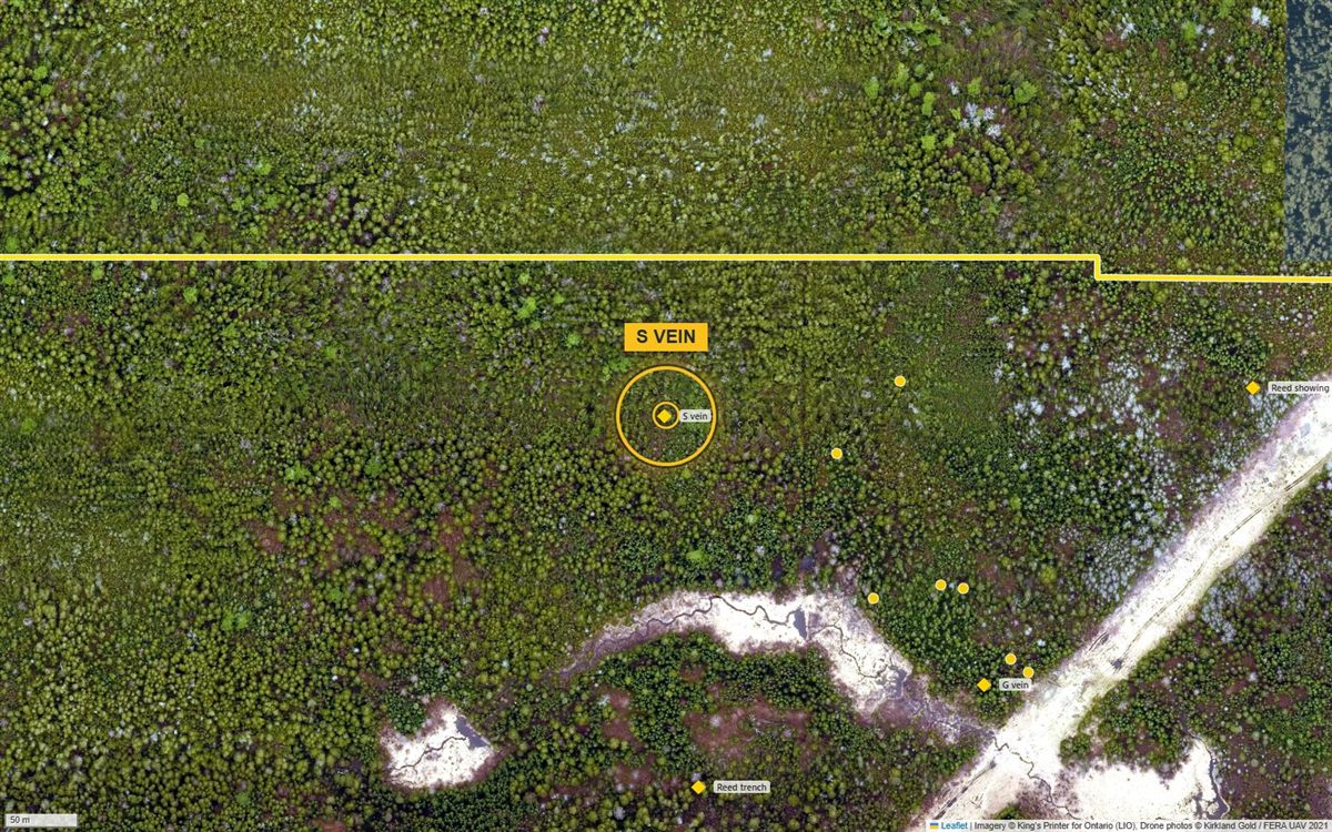
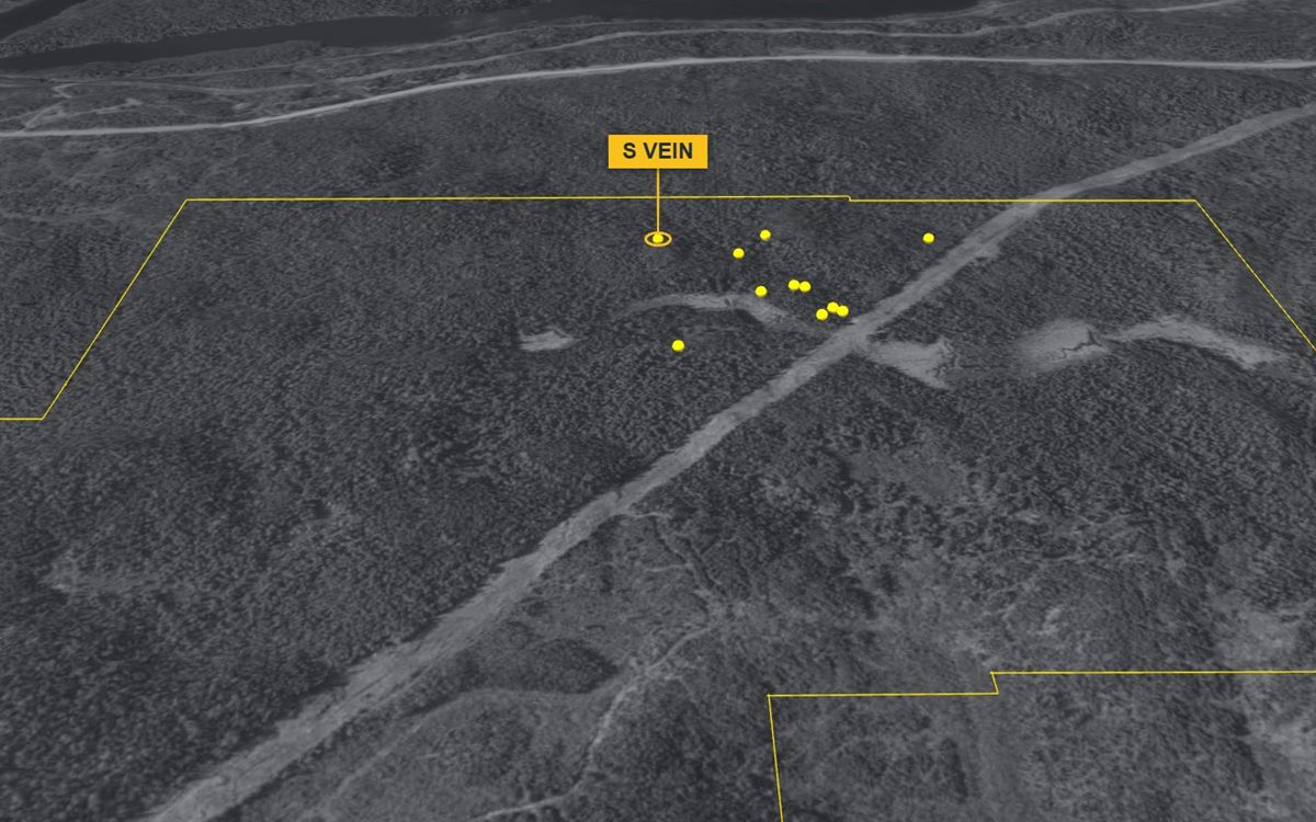
Imagery © King’s Printer for Ontario (LIO); drone photos © Kirkland Gold.
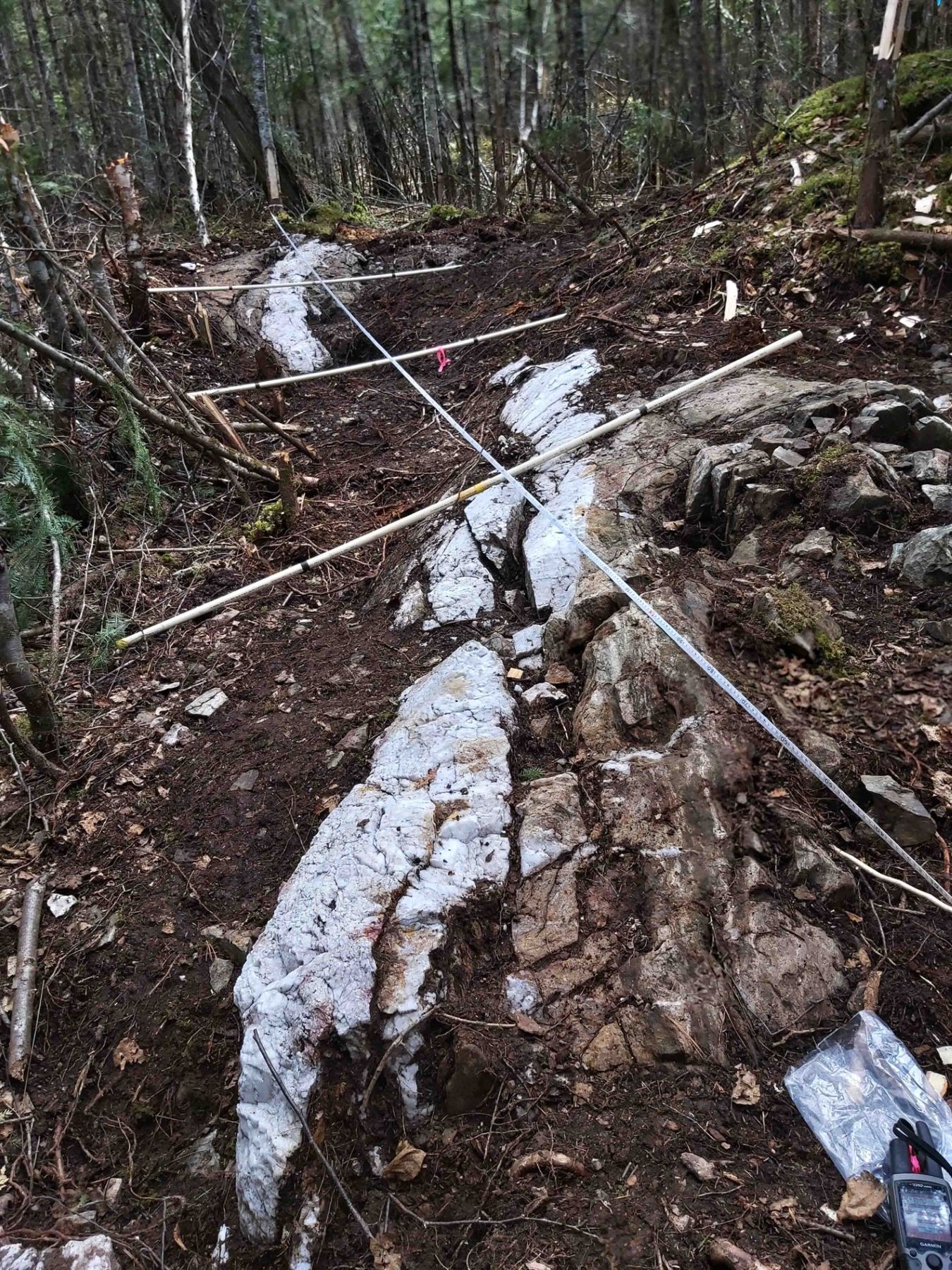
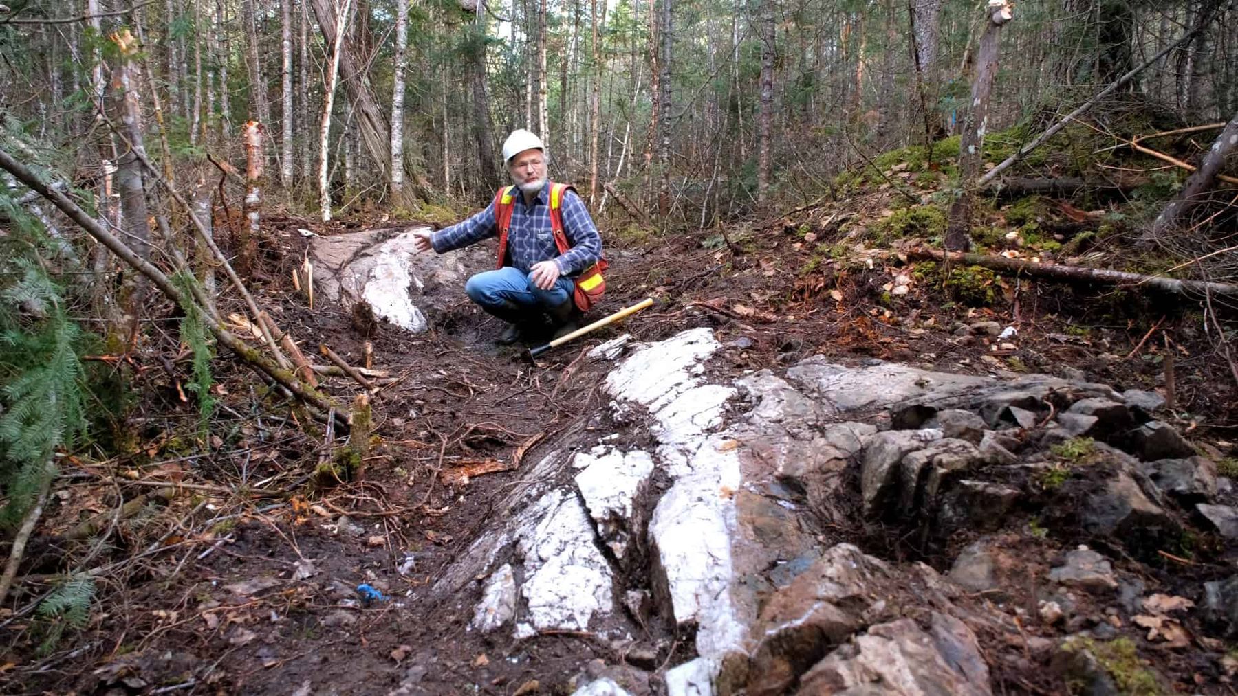
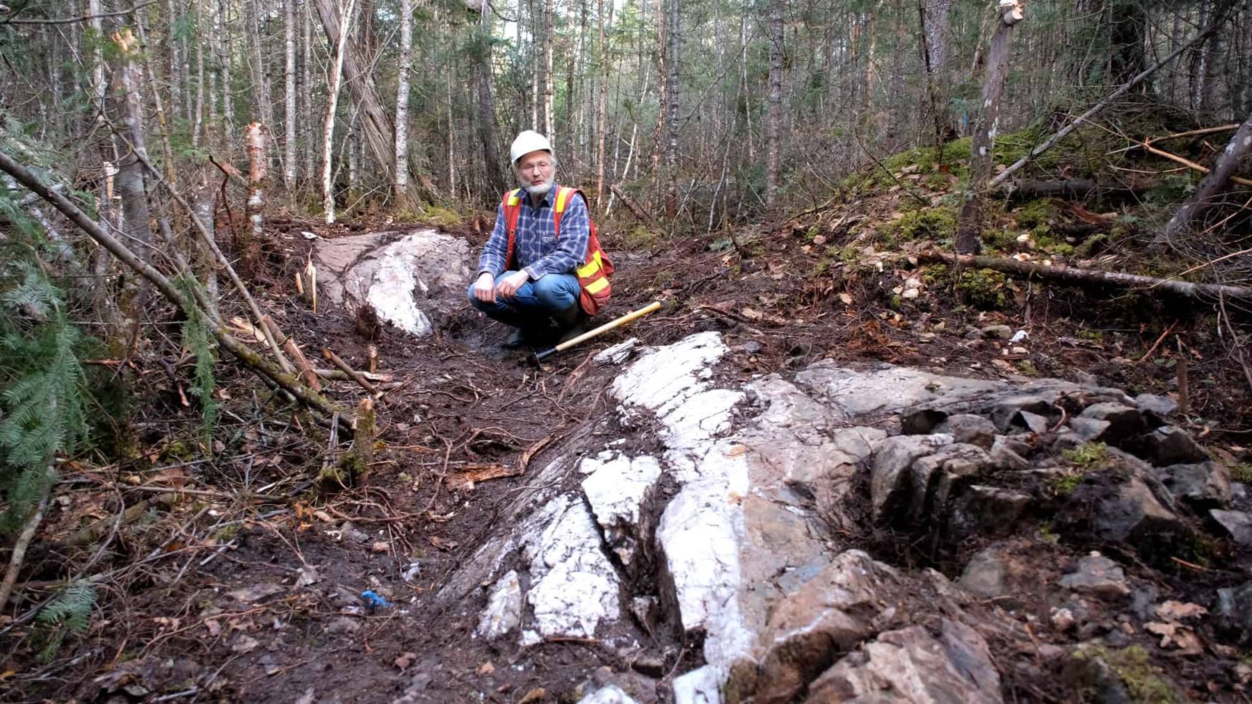
This quartz vein is more than 30 cm wide and about 40 m long, and shows evidence of folding and/or faulting. Further stripping in 2021 extended it.
Location
The S vein is about 400 m west of the Reed showing, in the Kirkland Lake gold camp of north-eastern Ontario.
| UTM (NAD83, zone 17N) | 563462 E, 5327197 N |
|---|---|
| Latitude / longitude | 48.0949° N, 80.1477° W |
| Townships | Eby / Otto, Larder Lake Mining Division |
| Surveyed | GNSS survey by Surveyors on Site, May 2022 (zero reference point, about ±0.5 m) |
Geology
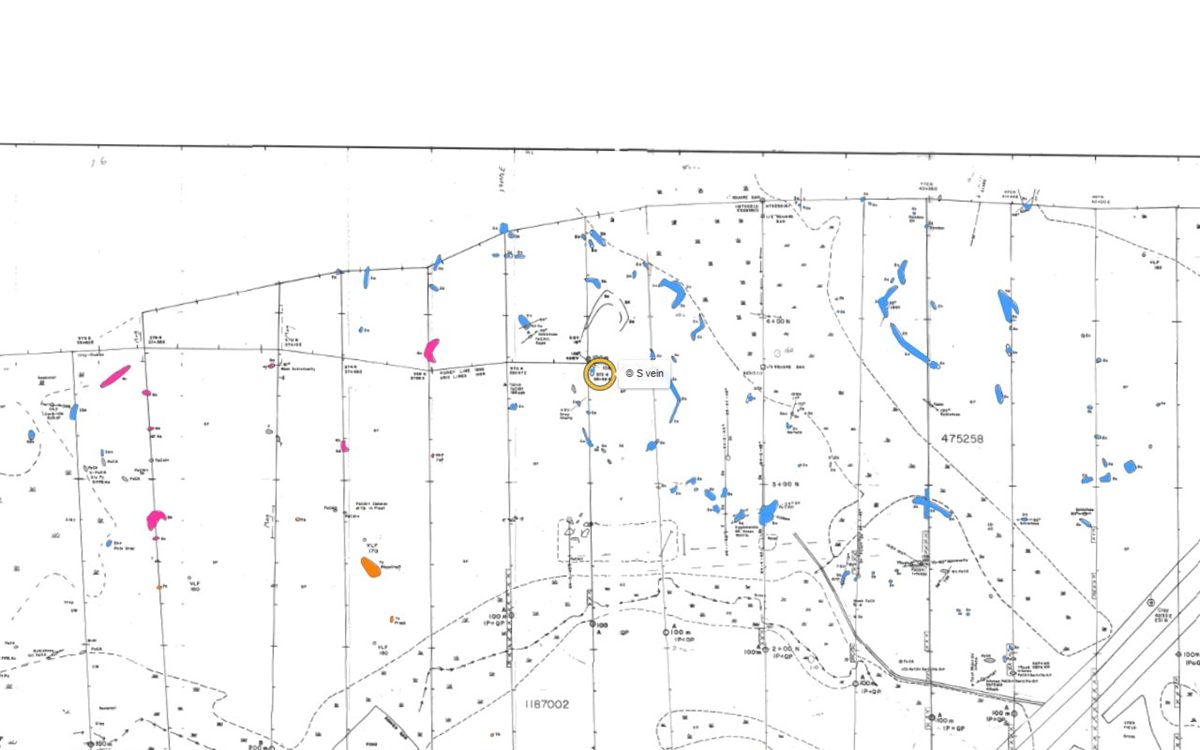
Its pyrite–albite alteration style is associated with many gold ores in the Larder Lake break system; the pyrite gives the vein its rusty colour, and pyritic albite alteration runs into the wall rock.
Sampling
The table below lists the samples on and near the S vein (within 40 m). The best, sample 46507 (November 2020), returned 0.17 g Au/mT from pyritic albite alteration beside the vein; the vein itself (46505) returned 0.13 g Au/mT.
Every sample recorded within about 40 m of the showing, from the site’s database:
| Year | Sample | Type | Width | Gold | Description | Report |
|---|---|---|---|---|---|---|
| Loading the samples… | ||||||
Grab samples are selected pieces of rock and are not representative; channel samples are cut across the vein or zone. The Reed showing’s cut samples and laboratory certificates are on the Reed showing page.
Photos
Click a photo to enlarge it. More photos are on the map’s Photos layer.
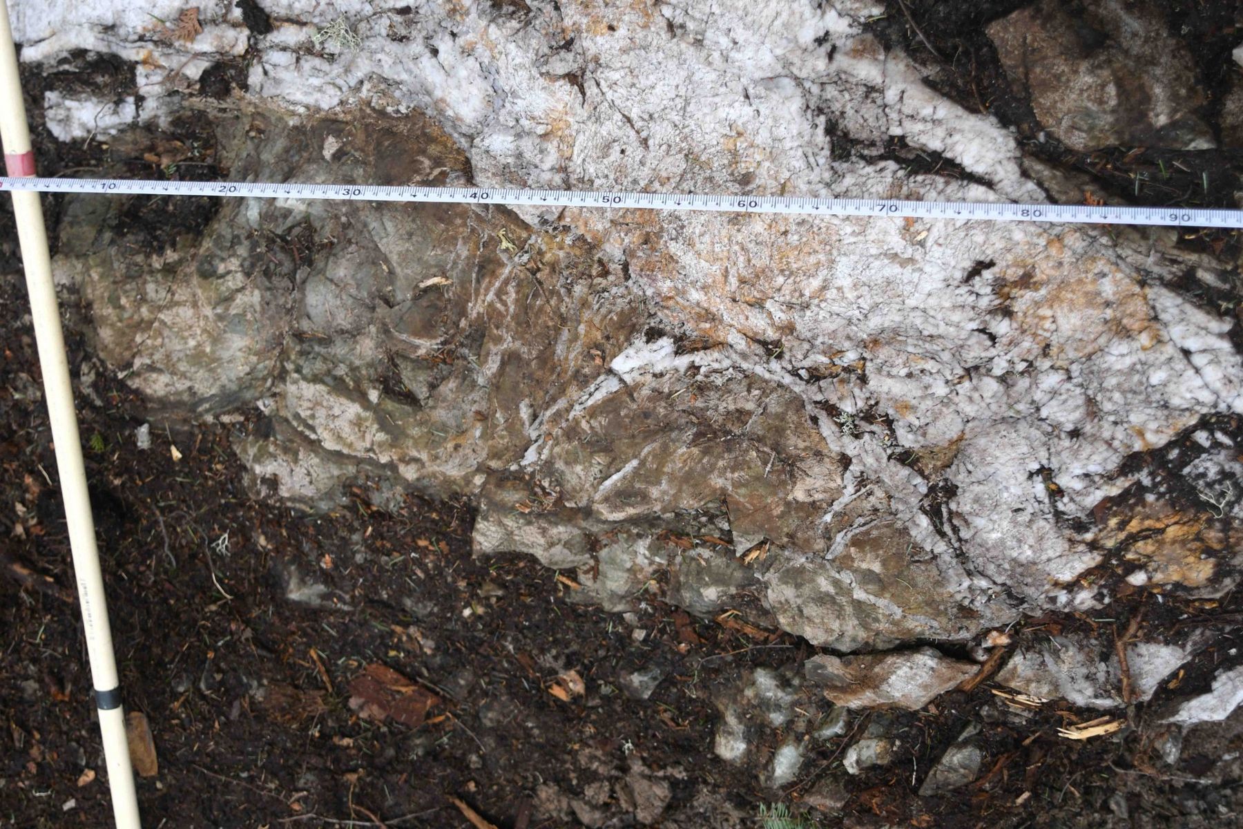
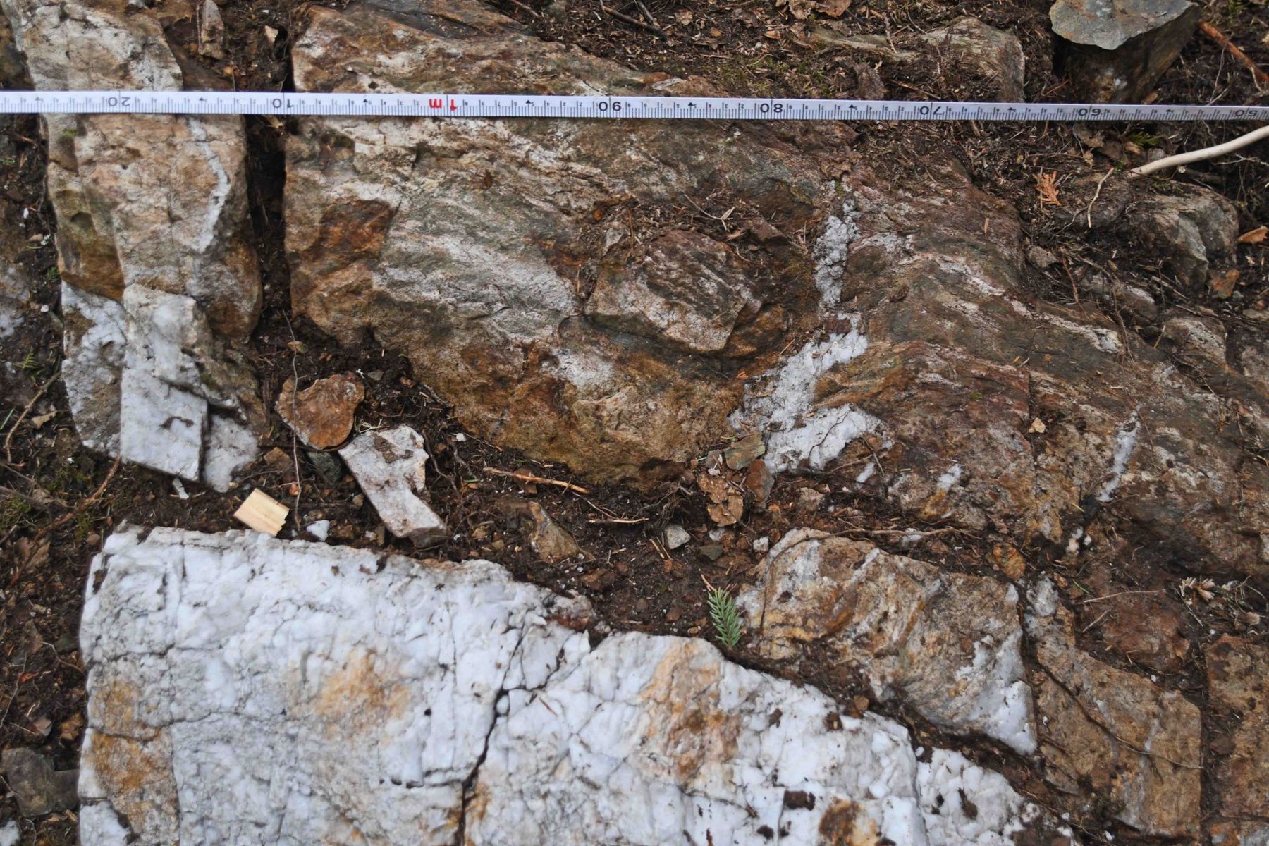
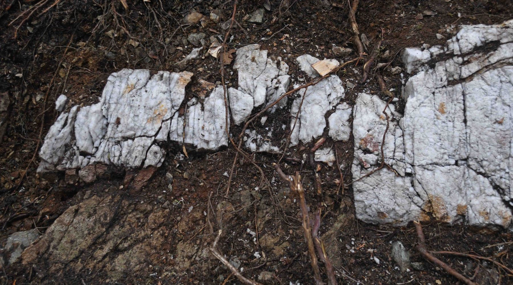
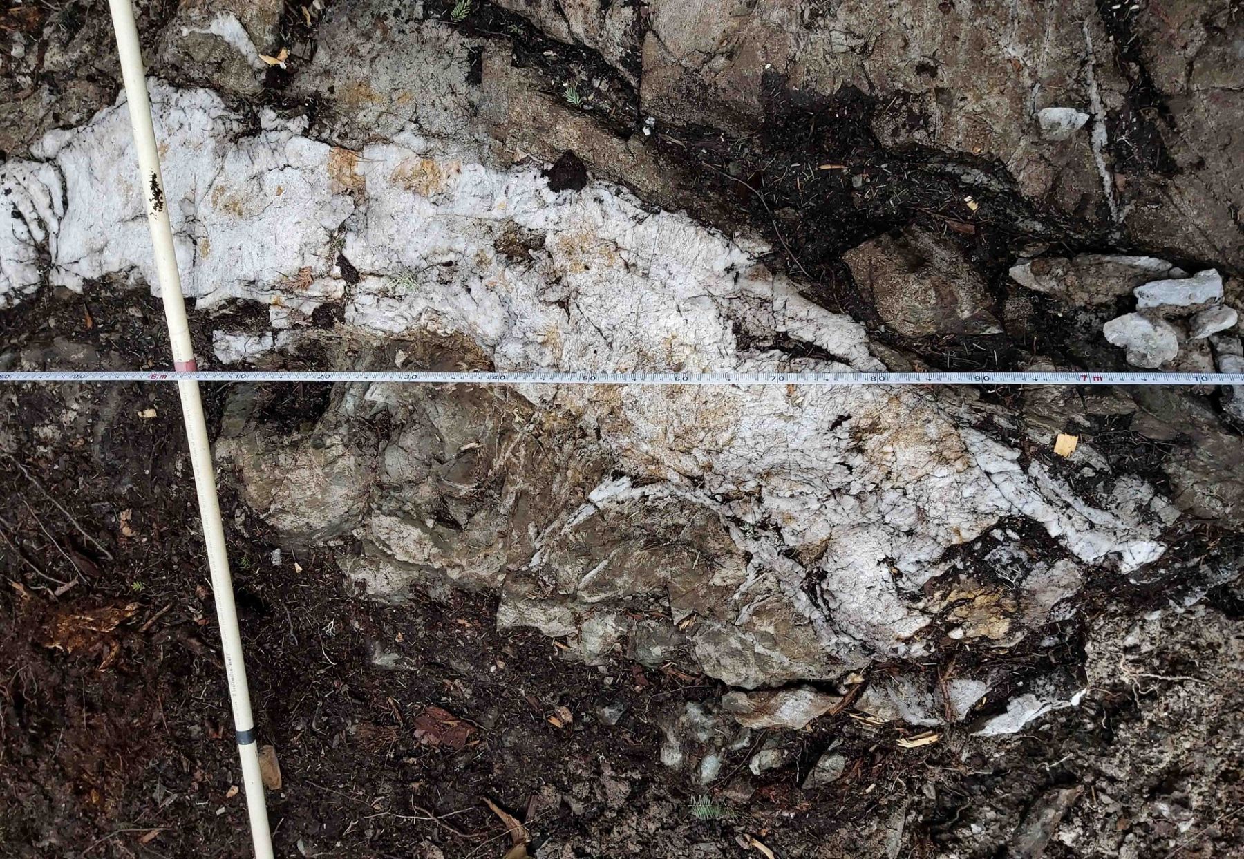
Geophysics
The 2021 Aerial drone magnetic survey covers the S vein, and the 2022 3D IP survey was run over the claims.
Survey views
The drone magnetics, the 3D magnetic model and the IP survey are in the Property Viewer for investors.
Drilling
The S vein has not been drill-tested. The nearest drilled holes are short (about 35 m) holes from 1984, about 490 m to the south.
| Hole | Year | Company | Length | Distance | Report |
|---|---|---|---|---|---|
| Loading the holes… | |||||
The nearest recorded drilled holes; distances are from the showing to the hole’s collar. All holes: the drilling page.
History
- 2021 – Further stripping extended the vein; the Aerial drone magnetic survey was flown the same year. AFRI 20000021754, 20000020517
- 2022 – The vein’s reference points surveyed by GNSS (Surveyors on Site), and a 3D IP survey over the claims. AFRI 20000020817
Reports
Assessment reports filed with the Ontario ministry that cover the showing:
- Deposit-alteration modelling, 2021 fieldwork, Reed Robinson property (Doug Robinson) AFRI 20000021754 · 2021–23 · Stripping, mapping, channel sampling, magnetic susceptibility
- Aerial drone magnetic survey and 3D inversion, Eby Otto project (EarthEx) AFRI 20000020517 · 2022 · Drone magnetics
- 3D DCIP survey at the Reed-Robinson claims (Dias Geophysical) AFRI 20000020817 · 2022 · Induced polarization
Documents
Signed-in investors also get the library copies of these reports, the survey maps and the data room.
Take the guided tour
The Property Viewer flies to the showing, sets the layers and explains what you are looking at.
Other showings: Reed Showing · Reed Trench · G Vein · R Vein · Boudreau Showing · all showings