6 stops in the Property Viewer – press Start the tour, or play it from any stop below.
-
Where it is
The R vein is in the west-central part of the property, about 1.6 km west of the Reed showing.
Source: GNSS survey by Surveyors on Site, May 2022
-
At surface
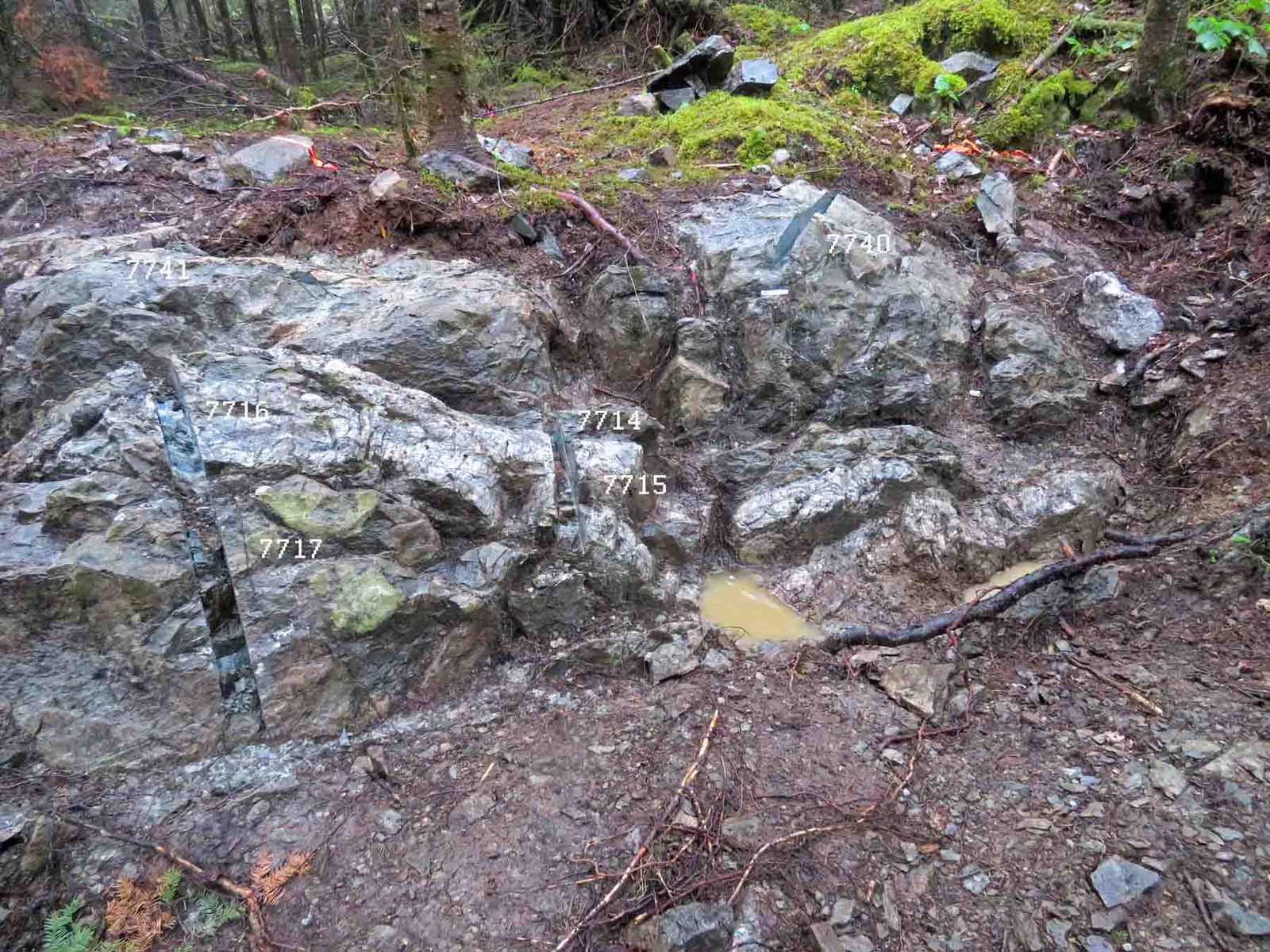
The R vein, with the 2021 channel cuts A porous, fractured quartz vein 22–26 cm wide, with chlorite patches, in chloritic wall rock with leucoxene and a bleached zone. It was hand-stripped and washed in 2021, and eight channel samples were cut across it.
-
The samples
The best of the eight channel samples returned 0.23 g Au/mT over 0.26 m – low, but the vein and its alteration are typical of the gold veins in the camp. Click a sample dot for its assay.
Source: 2021 channel sampling
-
The geology map
The 1:1000 geology map around the vein, with outcrops coloured by rock unit. Click an outcrop for its field notes.
Source: Geology map, Doug Robinson & J. Reed, 1994–96
-
The nearest hole
Hole EO-22-004 (969 m, 2022) was collared about 620 m south of the R vein and angled north toward the deep break; it did not cut the vein at surface.
Source: Public assessment file 20000020818
-
Not drill-tested
No hole has tested the R vein.