6 stops in the Property Viewer – press Start the tour, or play it from any stop below.
-
Where it is
The Reed showing is near the northern edge of the property, in its north-east, 424 m from Agnico Eagle’s Macassa ground (surveyed). Three independent cut samples returned 14.04 g Au/mT over 0.40 m.
Source: GNSS survey by Surveyors on Site, May 2022
-
At surface
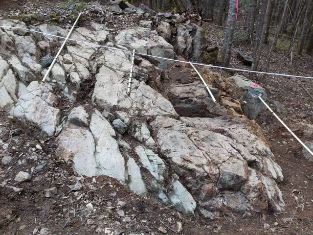
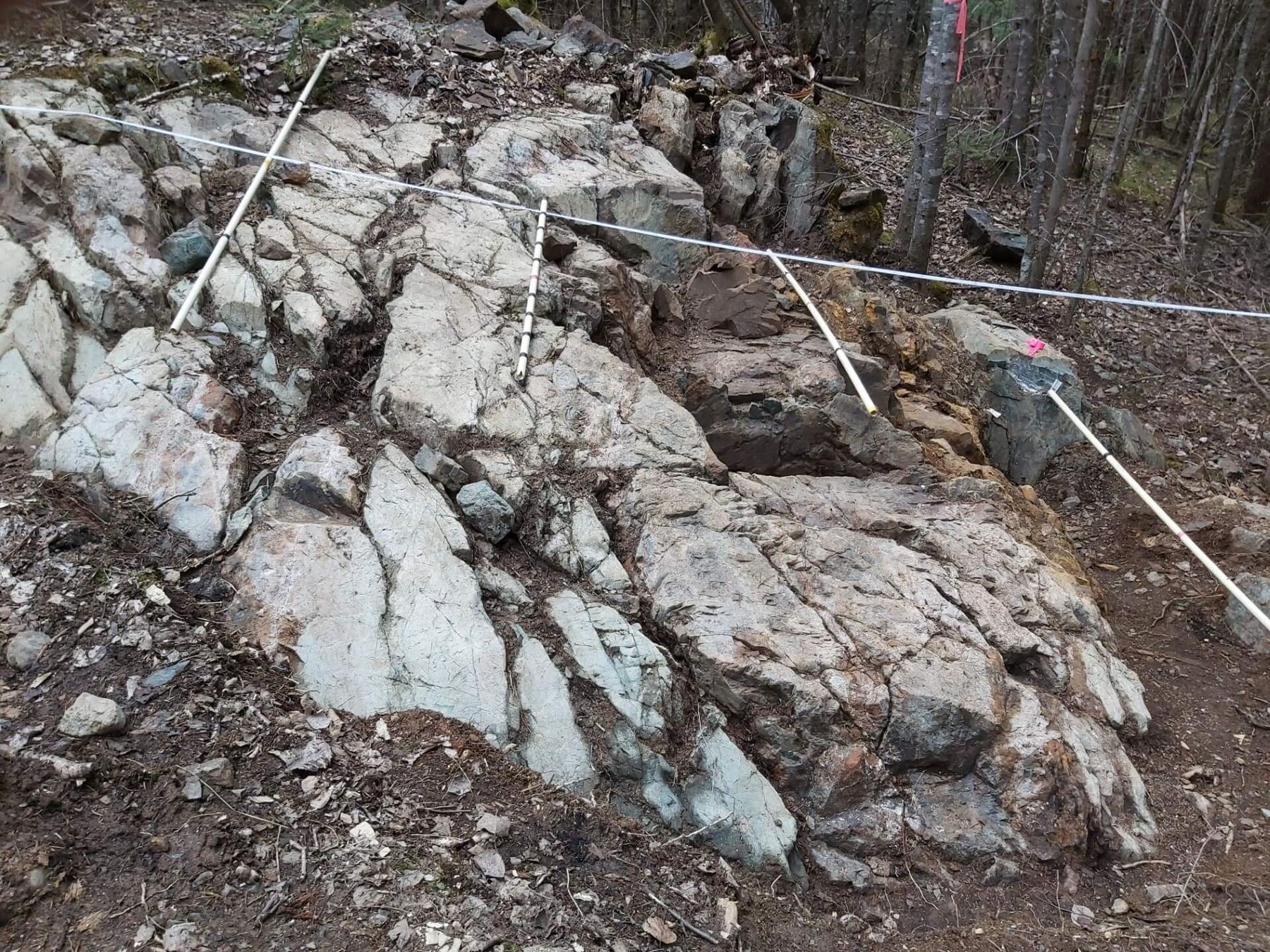
The Reed showing A distinctive albite replacement zone with more than 5% pyrite, cut by east–west shears – up to 18.8 g Au/mT in a single 0.20 m cut. About 14 m² was hand-stripped, washed and mapped in 2021. Click a sample dot for its assay.
-
The geology map
The 1:1000 geology map around it, with outcrops coloured by rock unit. Click an outcrop for its field notes.
Source: Geology map, Doug Robinson & J. Reed, 1994–96
-
Magnetics
The showing sits on the edge of a sharp east-trending break in the 2021 Aerial drone magnetics.
Source: Aerial drone magnetic survey, 2021
-
Beneath the showing
The drone magnetics modelled in 3D: a strong magnetic body starts directly beneath the showing, about 50–120 m down. No hole has tested it.
Source: Aerial drone magnetic survey, 2021
-
Never drill-tested
The Reed showing was never drill-tested, and neither was the magnetic body beneath it. The nearest deep hole, EO-22-004, was drilled about 1.8 km west.