5 stops in the Property Viewer – press Start the tour, or play it from any stop below.
-
Where it is
The S vein is about 400 m west of the Reed showing.
Source: GNSS survey by Surveyors on Site, May 2022
-
At surface
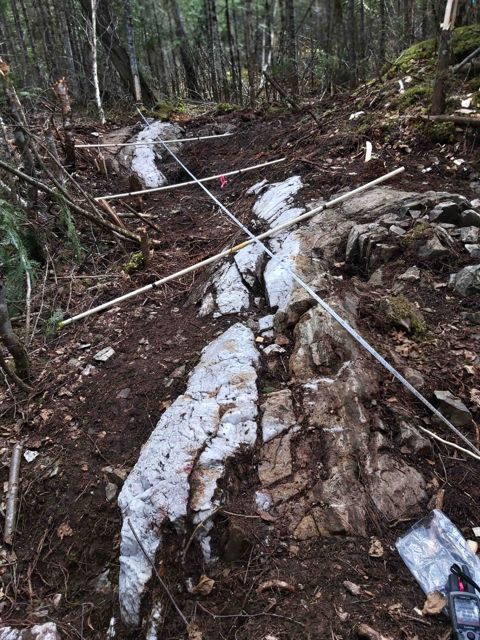
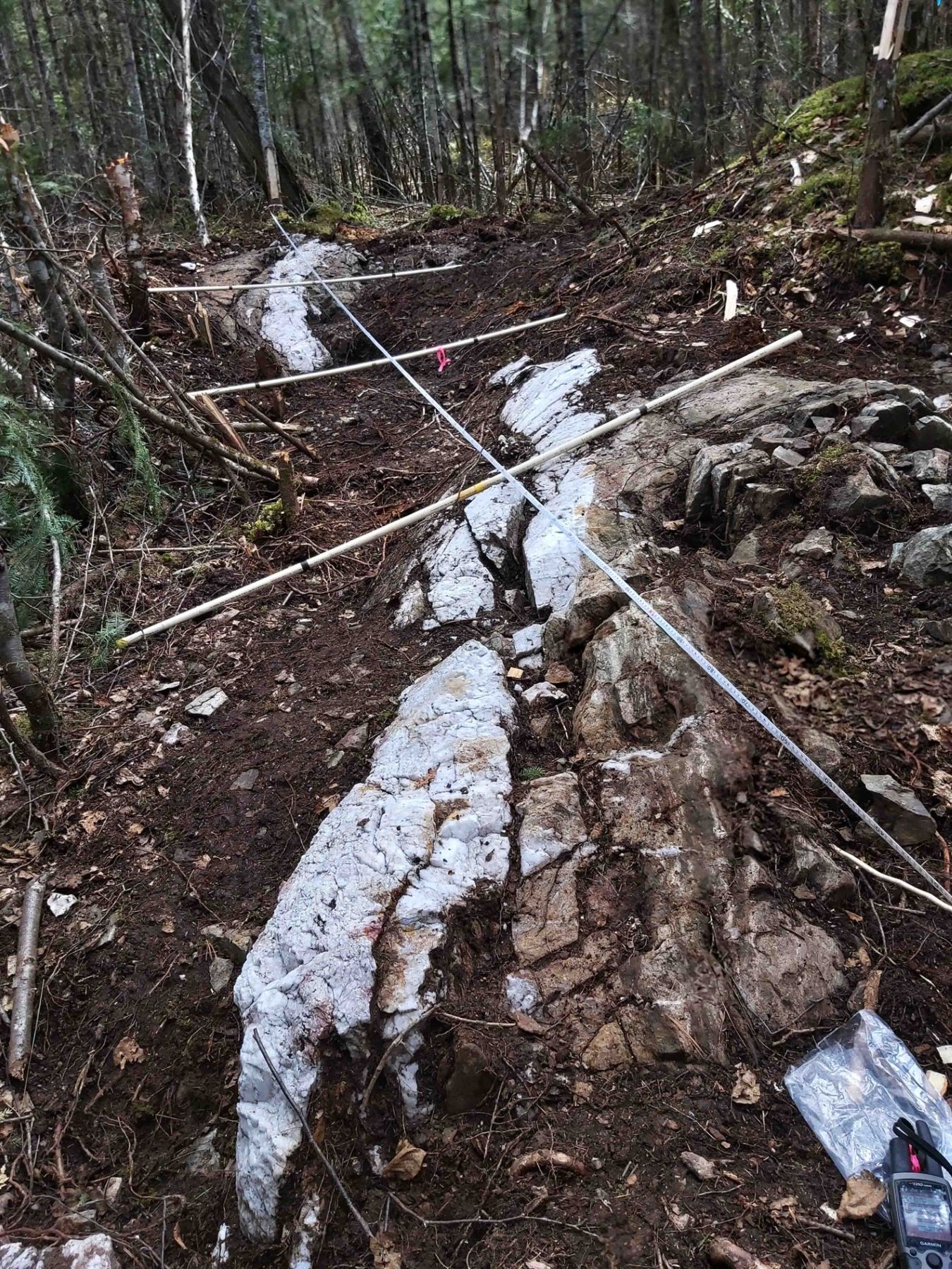
The S vein A quartz vein more than 30 cm wide and about 40 m long, with signs of folding or faulting, extended by stripping in 2021. Pyrite–albite alteration gives it its rusty colour and runs into the wall rock.
-
The geology map
The 1:1000 geology map around it, with outcrops coloured by rock unit. Click an outcrop for its field notes.
Source: Geology map, Doug Robinson & J. Reed, 1994–96
-
Magnetics
The 2021 Aerial drone magnetics around the S vein.
Source: Aerial drone magnetic survey, 2021
-
Not drill-tested
No hole has tested the S vein. The drilling so far has stayed in the west of the property.