


R vein
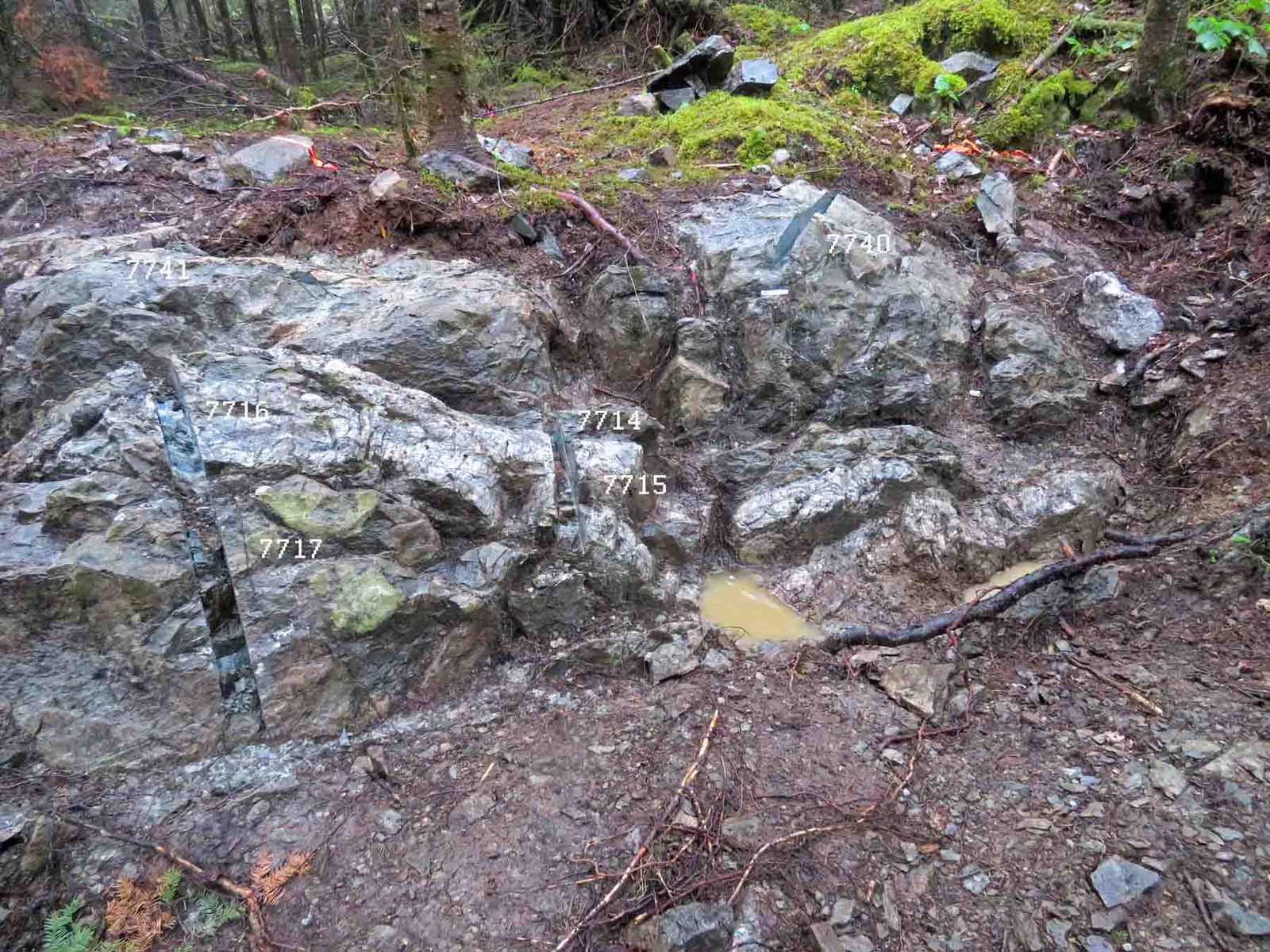
0.23 g Au/mT best gold – over 0.26 m, channel 7715, 2021- 26 cm porous, fractured quartz vein
- Eight channel samples in 2021
- Chloritic wall rock with leucoxene
- Not drill-tested
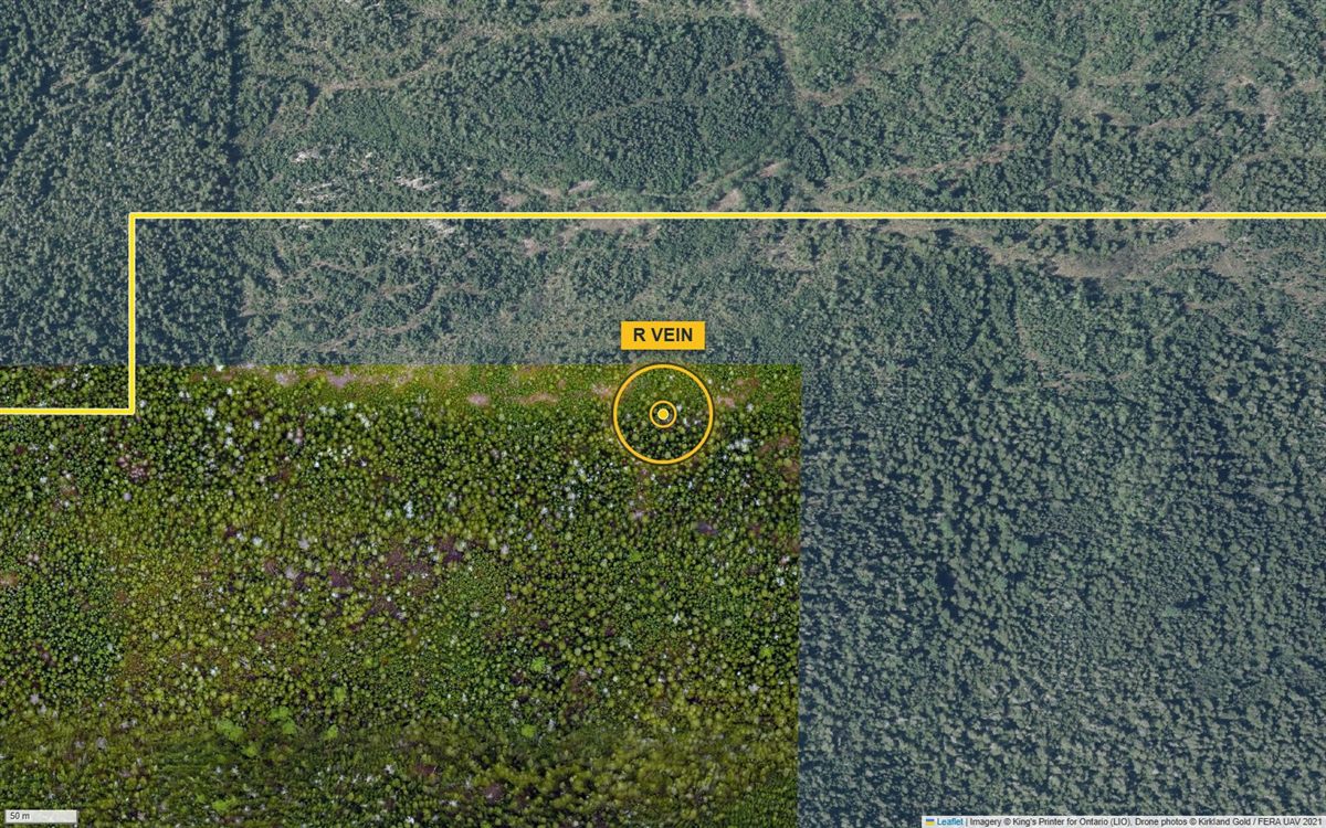
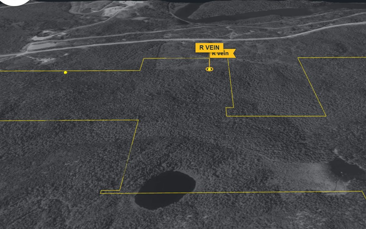
Imagery © King’s Printer for Ontario (LIO); drone photos © Kirkland Gold.
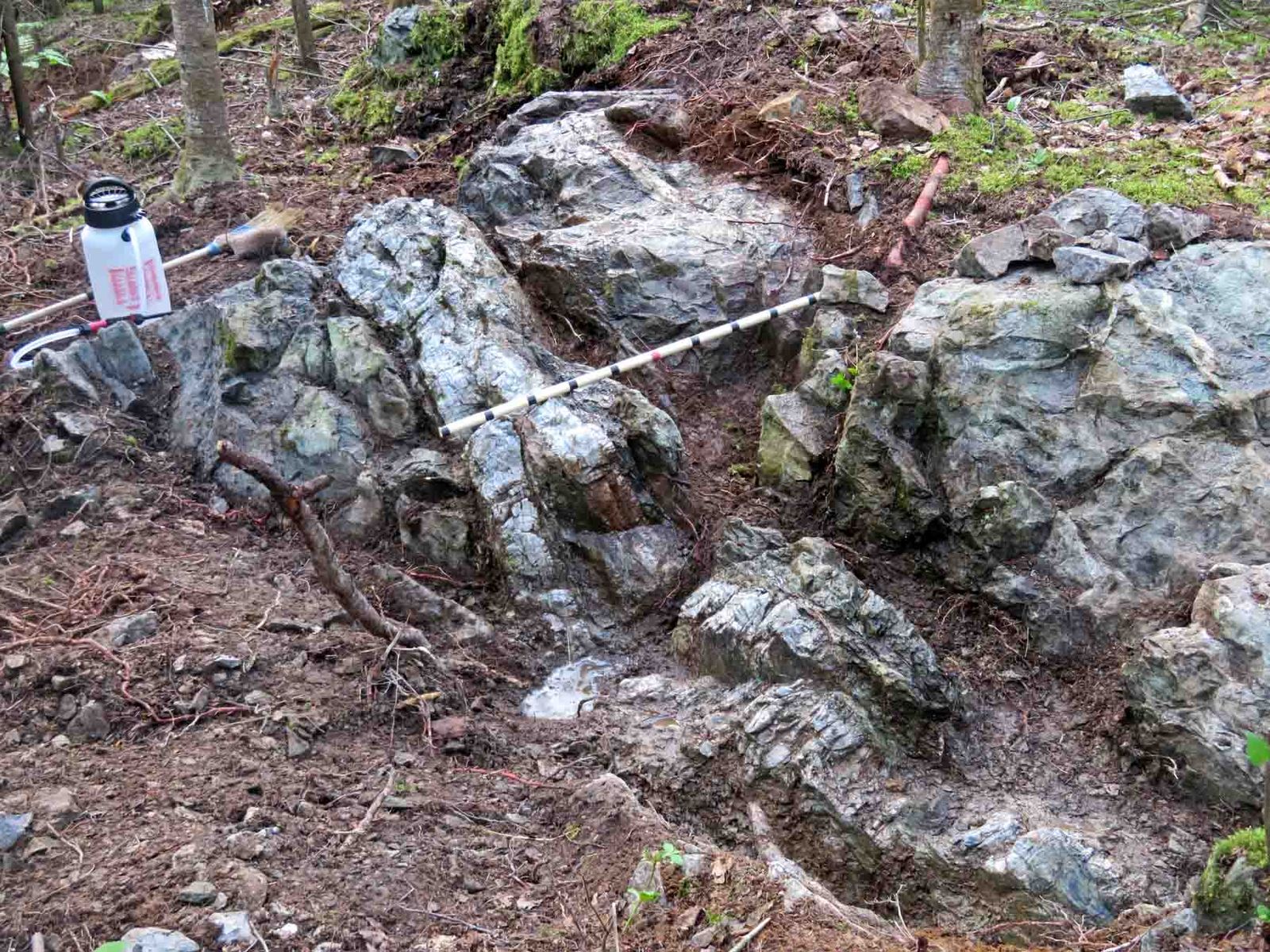
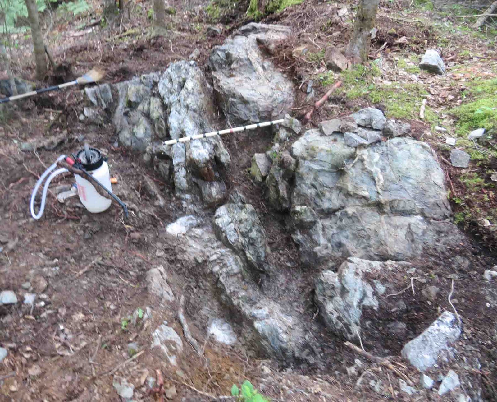
The R vein is a porous, fractured quartz vein with chlorite patches in chloritic wall rock. It was hand-stripped and washed in 2021, and eight channel samples were cut across the vein and its wall rock.
Location
The R vein (Robinson vein) is in the west-central part of the property, about 1.6 km west of the Reed showing and 620 m north of the 2022 hole EO-22-004, in the Kirkland Lake gold camp of north-eastern Ontario.
| UTM (NAD83, zone 17N) | 562256 E, 5327156 N |
|---|---|
| Latitude / longitude | 48.0946° N, 80.1639° W |
| Elevation | 340 m above sea level |
| Townships | Eby / Otto, Larder Lake Mining Division |
| Surveyed | GNSS survey by Surveyors on Site, May 2022 (zero reference point, about ±0.5 m) |
Geology
The quartz is milky to light green, about 22–26 cm wide where cut, porous and fractured, with chlorite patches. The wall rock on both sides is chloritic, with leucoxene and locally about 1% pyrite; a bleached zone runs along the vein, and broken ground continues on strike with it.
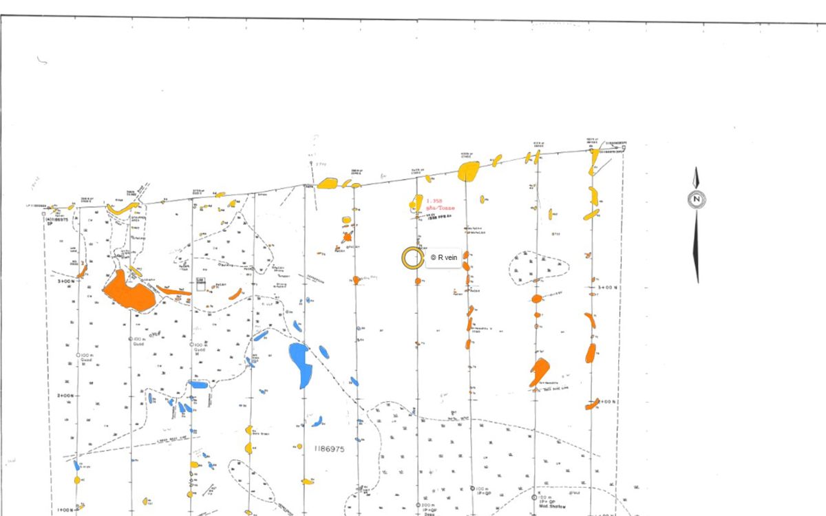
The best gold so far came from the wall rock: a 2020 chip sample of the basalt beside the quartz vein, taken with Doug Robinson, returned 1.47 g Au/mT (sample 1258409, Actlabs A20-2137). The 2021 cuts returned lower gold: the best was 0.23 g Au/mT over 0.26 m across the vein itself. The detailed vein geology map of November 2021 is in the Investor view.
Sampling
Every sample recorded within about 25 m of the showing, from the site’s database:
| Year | Sample | Type | Width | Gold | Description | Report |
|---|---|---|---|---|---|---|
| Loading the samples… | ||||||
Grab samples are selected pieces of rock and are not representative; channel samples are cut across the vein or zone. The Reed showing’s cut samples and laboratory certificates are on the Reed showing page.
Photos
Click a photo to enlarge it. More photos are on the map’s Photos layer.
Geophysics
The R vein lies just west of the area flown by the 2021 Aerial drone magnetic survey, so the drone magnetics and its 3D model don’t cover it. The property’s ground and IP surveys are described on the geophysics page.
Drilling
The R vein has not been drill-tested. The nearest recorded hole is EO-22-004 (2022, 969 m), collared about 620 m to the south and angled north toward the Cadillac–Larder Lake zone at depth.
| Hole | Year | Company | Length | Distance | Report |
|---|---|---|---|---|---|
| Loading the holes… | |||||
The nearest recorded drilled holes; distances are from the showing to the hole’s collar. All holes: the drilling page.
History
- 2016 – MMI soil samples taken around the vein as part of the Reed Robinson property soil survey. AFRI 20000015637
- 2020 – Chip sampled with Doug Robinson: the basalt wall rock beside the quartz vein returned 1.47 g Au/mT (sample 1258409).
- 2021 – Hand-stripped and washed, and eight channel samples cut across the vein and its wall rock. AFRI 20000021754
- 2022 – The vein’s reference points surveyed by GNSS (Surveyors on Site). AFRI 20000021754
Reports
Assessment reports filed with the Ontario ministry that cover the showing:
- Deposit-alteration modelling, 2021 fieldwork, Reed Robinson property (Doug Robinson) AFRI 20000021754 · 2021–23 · Stripping, mapping, channel sampling, magnetic susceptibility
- MMI soil survey, Reed Robinson property (Doug Robinson, P.Eng.) AFRI 20000015637 · 2016–18 · Soil geochemistry
- Diamond drilling report, Reed-Robinson claim group (hole EO-22-004) AFRI 20000020818 · 2022 · Diamond drilling
Documents
Signed-in investors also get the library copies of these reports, the survey maps and the data room.
Take the guided tour
The Property Viewer flies to the showing, sets the layers and explains what you are looking at.
Other showings: Reed Showing · Reed Trench · G Vein · S Vein · Boudreau Showing · all showings